-40%
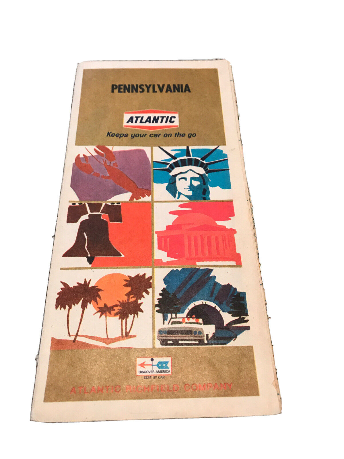
1971 ARCO Atlantic Richfield Road Map CENTRAL UNITED STATES Texas Oklahoma Iowa
$ 2.63
- Description
- Size Guide
Description
1971 ARCO Atlantic Richfield Road Map CENTRAL UNITED STATES Texas Oklahoma IowaHandsome 1971 Arco fold-out road map of the central United States, printed more than 45 years ago.
The map opens to 40½" x 20½" and has great detail on old highway alignments, including U.S. Route 66, with cartography by Rand McNally.
The coverage area includes Arkansas, Illinois, Iowa, Kansas, Michigan, Minnesota, Missouri, Nebraska, North Dakota, Oklahoma, South Dakota, Texas, Wisconsin, and parts of Colorado, Wyoming, and New Mexico.
Tinted highways are shown in more detail on the reverse side.
The map was distributed by the Atlantic Richfield Company in 1971 to promote its Arco brand. It is dated in the legend, and the code number in the lower margin is 716217-13. The back cover has a photograph of an Arco service station sign.
Condition:
This map is in very good, lightly used condition, bright and clean, with
no
marks, rips, or tears. Please see the scans and feel free to ask any questions.
Buy with confidence! We are always happy to combine shipping on the purchase of multiple items, and everything we sell comes with
our unconditional, money-back guarantee.
Powered by SixBit's eCommerce Solution


